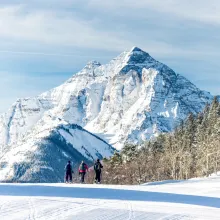
This guest blog comes from Aspen Local Ted Mahon via the Aspen Times. See below for his suggestions on long day hikes located around Aspen:
We’re in the back half of August, and summer is winding down. The morning temperatures are a little cooler, and late-season flowers are all that remain in the high country. If you look around, you’ll see some aspen trees starting to show some yellow leaves — September is just around the corner.
If there’s a silver lining to this time of August when summer starts winding down — apart from the fact that ski season is approaching — it’s that we’re into the time of the year when we’re often at our peak fitness.
We’ve been out on the trails all summer — hiking, running, backpacking. We’ve logged the miles and acclimated to high elevation and summer conditions. We’re primed for a big outing.
I refer to them as long days. Simply put, they’re any effort that has you on the trail all day. A single metric doesn’t define them.
Long days aren’t only measured by distance covered. Time on the trail and effort required figure in just as significantly. A long day might start with a headlamp. It usually requires food beyond a Clif bar and a packet of Honey Stinger chews. In some cases, you might have to filter water along the way.
You’ll need extra layers and a rain shell because you’ll likely be out during the period of afternoon showers. Long days might cover so much ground that a car shuttle is required. A GPS map app might come in handy — maybe even an InReach to let people know everything is OK.
If you have a bucket-list hiking goal that falls into this category, now might be the time to make it happen.
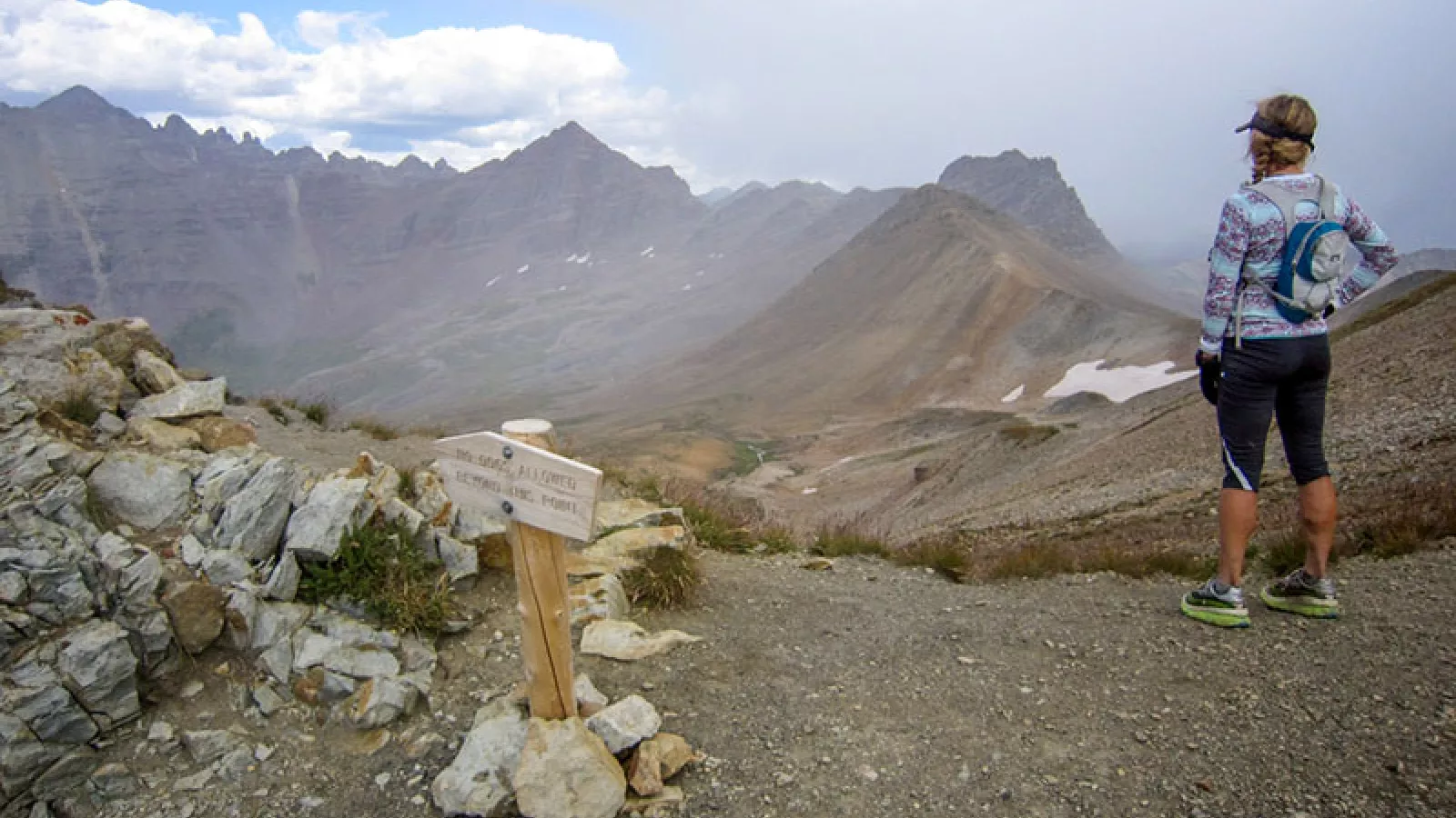
When I think of long day outings in the Aspen area, a few stand out as worthy objectives. They can be completed as a moderately paced all-day hike, a trail run or even a multi-day backpack.
They’re all in beautiful locations and involve crossing high passes, sometimes more than one. And while they’re all technically in the local Elk Mountains, they cover different valleys and drainages.
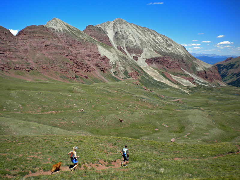
The Snowmass to East Snowmass Three Pass Loop
The trailheads for Snowmass and East Snowmass creeks are at the very end of Snowmass Creek Road. From that single starting point, you can complete a 22-mile loop and finish right where you started. You can follow the route in either direction, but I prefer to start with the more mellow-angled Snowmass Creek trail and go counterclockwise.
Follow the well-traveled Snowmass Creek Trail for 8 miles toward the namesake lake. Before you reach the lake, look for a signed fork to the left and follow that up the valley towards Buckskin Pass.
Reach Buckskin Pass at mile 11 and descend its east side to a signed fork for Willow Pass. Climb that trail to the 12,560-foot pass and take in the incredible view down to Willow Lake.
Descend towards Willow Lake, looking for another marked left turn that will bring you up to the saddle between the Willow Creek drainage and East Snowmass Creek — the third pass of the route. Follow the East Snowmass Creek Trail down through the beautiful valley for 7 miles to the trailhead where you started earlier that day.
Total miles: 22 miles
Total vertical gain: 6,000 feet
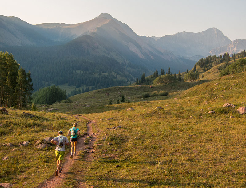
Capitol Creek to Avalanche Creek to Hell Roaring Trail
From the Capitol Trailhead at the end of Capitol Creek Road, follow the Ditch Trail for 6.5 miles to Capitol Lake. Continue past the lake to Capitol Pass at 12,100 feet. Descend into the remote Avalanche Creek valley, following the excellent trail for about 8.5 miles, to a signed junction for the Hell Roaring Trail.
Climb east out of Avalanche Creek on the steep Hell Roaring Trail for 4,000 feet to the ridge above. This trail is less maintained and can require a little more effort to follow. You may encounter fallen trees and overgrown sections. Once above the tree line, the route is obscure and is marked with cairns. Consult a map before you go, so you are familiar with this trail section.
Reach the ridge at 12,000 feet and take in the views — Mount Sopris is to the north, and Capitol Peak commands the view to the south. Then, descend northeast on an improving trail, past Williams Lake, for 4 miles back to the Capitol trailhead.
Total miles: 24 miles
Total vertical gain: 7,000 feet
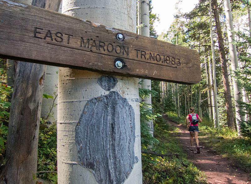
East Maroon to Conundrum Creek
From the East Maroon trailhead on Maroon Creek Road, follow the well-established trail for 9.5 miles to East Maroon Pass. You’ll cross the creek twice, getting your feet wet in both instances.
From the pass, descend a short distance towards Copper Lake, looking for a signed fork for Triangle Pass. Climb up the trail for 2 miles to Triangle Pass at 12,900 feet. Take in the expansive view of Castle and Conundrum peaks, Whiterock Mountain and Precarious Peak.
From the pass, it’s a short distance down to the hot springs — consider taking a quick dip. Then, follow the trail for 9 miles down to the Conundrum Creek trailhead.
This route is enjoyable in either direction. However, car shuttling is required because it isn’t a closed loop. And due to driving restrictions on Maroon Creek Road, additional planning is needed to get to/from the East Maroon trailhead.
Total miles: 23 miles
Total vertical gain: 5,000 vertical feet
Consider these suggested routes as options for long-day adventures. Additional planning and preparation are definitely required. Do some extra homework, rally some good partners and pick the right day. The more you organize on the front end, the less likely you’ll find yourself in unexpected and challenging situations.
Take advantage of your summer fitness this time of year and explore the far reaches of our local backyard. You’ll challenge yourself and see something new, and executing well on big outings can be very rewarding. With any luck, you might come home with some memories that will stand out from the rest of the summer.

