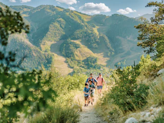
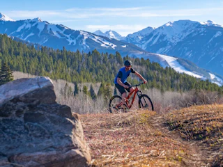
Scenic Drives
There's no question that once a visitor arrives in Aspen, they will be blown away by the myriad of things…
There's no question that once a visitor arrives in Aspen, they will be blown away by the myriad of things…


Aspen is located in the Roaring Fork Valley in Pitkin County Colorado.
We always recommend checking with the Colorado Department of Transportation (www.cotrip.org) when planning your road trip in Colorado as road conditions are regularly affected by our weather.
Aspen is 220 miles, approximately 3.5 hours from Denver.
Travel via I-70 West to Glenwood Springs, then exit onto Highway 82 to Aspen.
During the summer months, enjoy a scenic route over Independence Pass.
From Denver take I-70 West to State Highway 91 South through Leadville to US 24 South, then west onto Highway 82 over Independence Pass.
Colorado Department of Transportation's Independence Pass Travel Information.
Aspen is an easy 2.5-hour drive east on I-70 connecting with State Highway 82 in Glenwood Springs.
Aspen is about 70 miles or approximately 1 hour & 40 minutes traveling I-70 West to Glenwood Springs then onto Highway 82.
Take US-550 which turns into US-50 West. Turn onto CO-92 at Delta. Turn onto CO-133 at Hotchkiss which continues over McClure Pass into Carbondale. Turn right on Highway 82 to Aspen.
Use a carpooling app to connect with drivers and passengers heading into the mountains to save money and reduce your carbon footprint.
Important information to know if you are bringing your rig to Aspen:
We recommend you look into road conditions and/or road closures by calling the Colorado Department of Transportation's road information hotline at 511 from anywhere in the state, or going to www.cotrip.org.