Independence Pass is closed for the season. The road typically re-opens by the end of May.
Colorado Department of Transportation Road & Traffic conditions. For the latest updates on I70 road closures & more.
Independence Pass, part of Colorado State Highway 82, passes over the Continental Divide between Leadville and Aspen, Colorado with a summit of 12,095 ft. In addition to being a scenic byway, Independence Pass, just east of Aspen, is a favorite recreation location during the summer months.
The Colorado Department of Transportation closes the highway at the Winter Gate, 5 miles east of Aspen each winter. The time of the closure and opening is dependent on snow accumulation. Visit cotrip.org for up-to-date road closure information. Do not rely on your GPS for directions if the pass is closed.
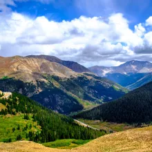
The midway point between Aspen and Twin Lakes, Colorado, Independence Pass is on the border between Pitkin and Lake Counties and is the dividing point between watersheds that drain into the Pacific Ocean vs. those that drain into the Atlantic Ocean. You are at 12,095ft, so the weather can be unpredictable. There is ample parking and a scenic overlook where you can take in the 360-degree views.
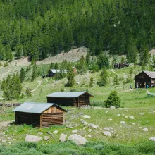
16 miles east of Aspen is the historic ghost town of Independence. Once a thriving mining town with over 40 businesses and an estimated population of 1,500. Today you can view the remains of miner's cabins, the Farewell Stamp Mill, Stables, and the General Store.
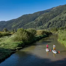
The North Star Nature Preserve, Where the Roaring Fork Whispers, is a wonderful place to recreate, just east of Aspen and before you reach the "winter" gate to Independence Pass. You can explore this area on foot, or from the river, but please make sure to do so respectfully as it is a nature preserve that also passes through private land. Stand-Up paddling, kayaking, and tubing down the river are popular ways to cool off in the summer.
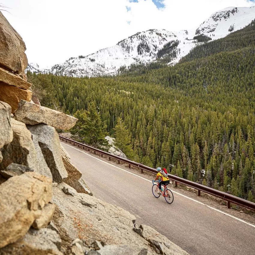
Road biking on Independence Pass/Highway 82 is a popular route in the summer. The road climbs to the continental divide at the top of the Pass (12,095 ft.). The road is open to traffic and is extremely narrow in some sections. Be alert to all car traffic, which is especially heavy on summer weekends. From Aspen to the peak of the pass is about 20 miles, but riders can turn around at any point and return to town.
Each spring the cycling season kicks off with the Annual Ride for the Pass event which takes place every May before the road is open to car traffic.
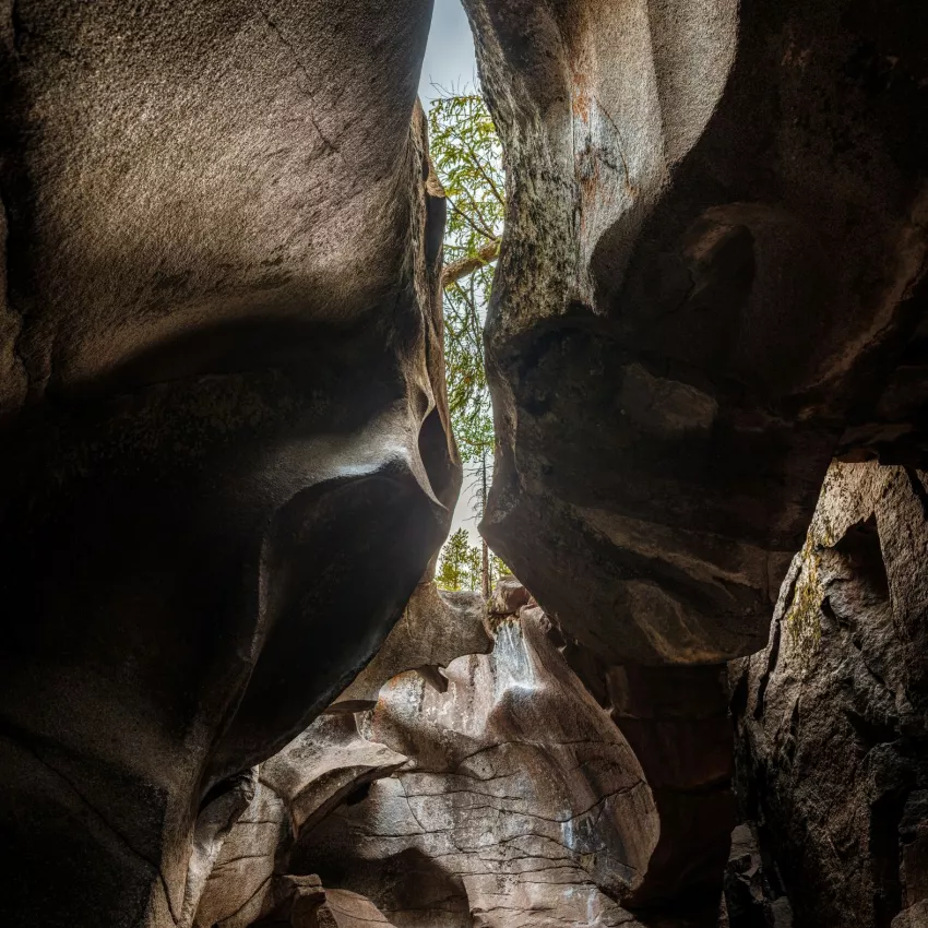
9 miles east of Aspen (.9 miles past Weller Campground), pull into the day use parking area on the right-hand side of the highway. From the parking lot, you will see picnic areas popular with families along with hiking trails leading to waterfalls, rock formations & ice caves.
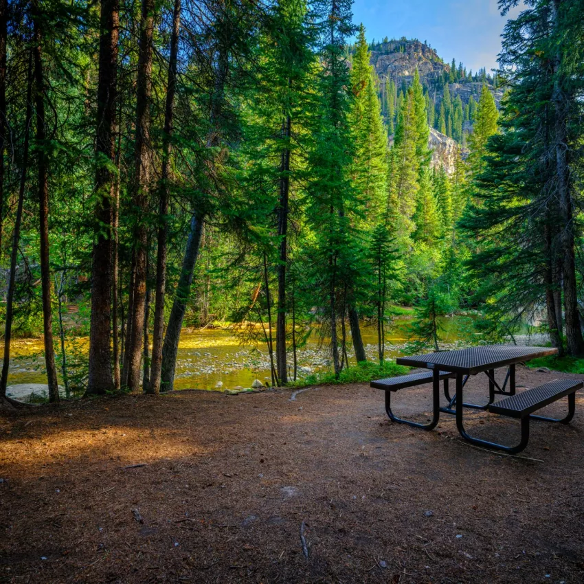
Fee-based camping on the Aspen side of Independence Pass is available at Difficult Campground, Weller Campground, Lincoln Gulch, and Lost Man Campground. Free camping can be found along Lincoln Creek Road.
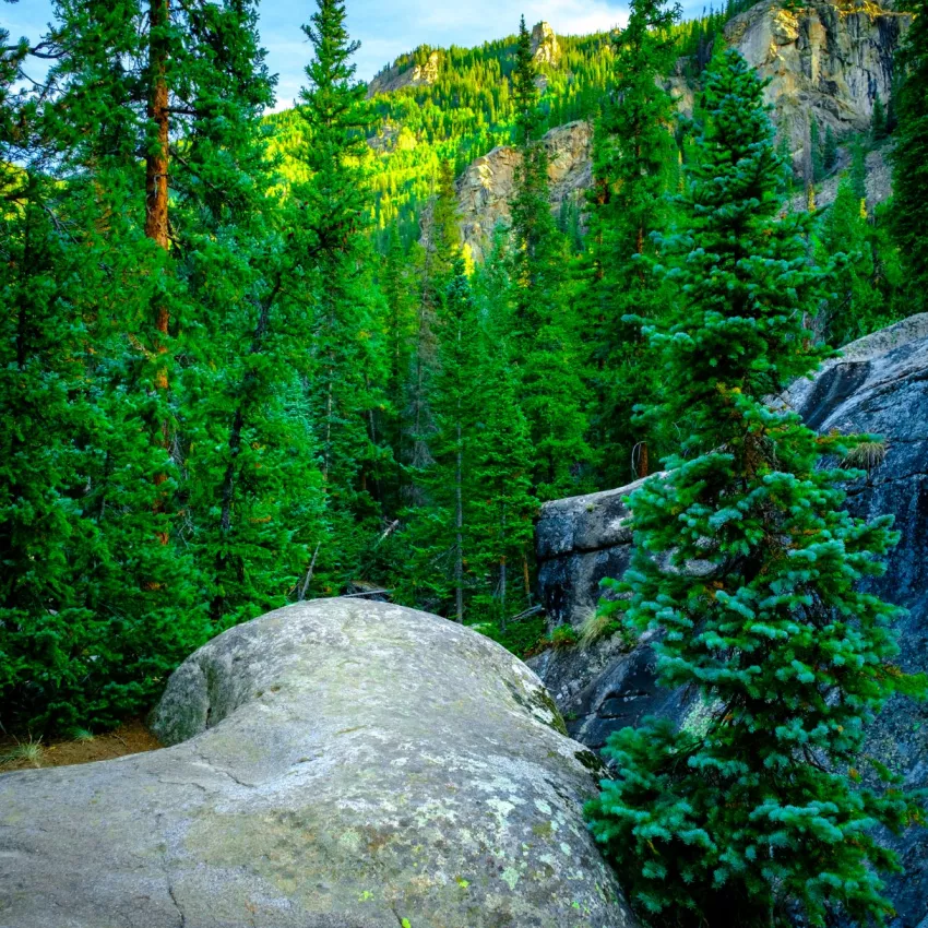
Independence Pass Rock Climbing offers short approaches and a large variety of climbs, both trad/mixed and sports climbing is available.
Highway 82 is closed at the Winter Gate, 5 miles east of Aspen, around the beginning of November each year. However, visitors are still able to enjoy recreational opportunities on the closed, snow-packed road.