


Published Jan 30, 2026
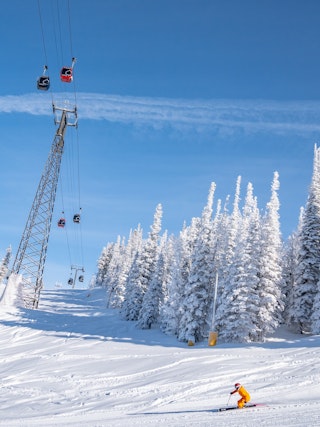
Spring Skiing in Aspen
Spring in Aspen is short & sweet. You can experience spring ski days in March & April while enjoying warmer…