5 Lesser Known Hiking Trails
While there are plenty of hiking trails located within steps of downtown Aspen, the Roaring Fork Valley is a large place with many opportunities for hiking in areas that offer seclusion and a wide diversity of natural charm to all levels of outdoor enthusiasts. We caught up with Aspen Alpine Guides owner Steve Szoradi to get the insider’s scoop on five under the radar hikes in and around Aspen:
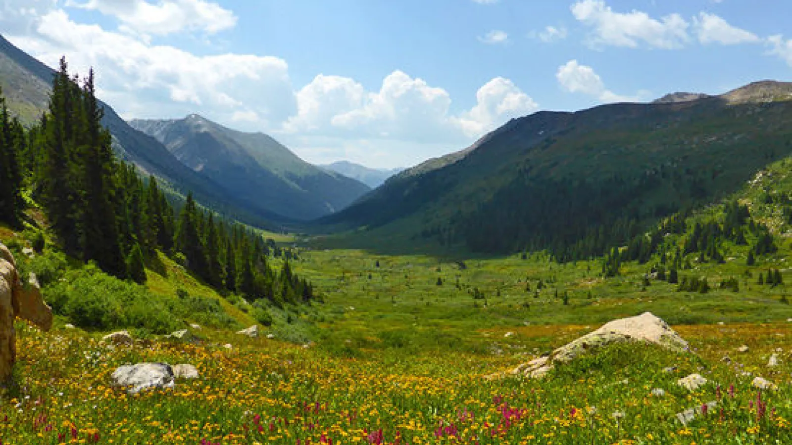
North Fork Trail: The beautiful North Fork Trail takes hikers through a broad valley to Fryingpan Pass in the Mount Massive Wilderness with exceptional views throughout the excursion. Deer Mountain stands prominently over the Fryingpan Pass, with a similar basin and tarn between it and Mount Champion that can be reached with modest effort.
- Round-trip length: 8.1 miles
- Skill level: Moderate
- Trailhead: located on the east side on Independence Pass on Highway 82, 4.5 miles between Aspen and Leadville.
Green Mountain: While Green Mountain is well visible from the switchbacks on the west side of Independence Pass, you will not see any signs for Green Mountain Trailhead on Highway 82. The trailhead is between the Lost Man Trailhead and Independence Lake trailhead. Hikers will pass by the remains of crumbling log cabins along the way to the summit of Green Mountain. From the summit, trekkers can enjoy expansive views of independence Pass along with views of many famous peaks including Castle Peak, Lost Man Creek Valley, New York Creek Valley, Grizzly Peak and Tabor Creek Valley.
- Explore the history: Aspen Historical Society hosts various guided history hikes in and around the Aspen area. Guests can enjoy a history hike around Independence Ghost Town’s lesser-known sister, home to several old miners’ cabins and the leftovers of a once-bustling mining operation.
- Trailhead: 16 miles east of Aspen on Highway 82.
East Snowmass Trail: This route, which leads into the heart of the Maroon Bells- Snowmass Wilderness, is an ideal choice for strong hikers trying to avoid the crowds from Maroon Lake. It can be linked with the Willow Lake and Maroon-Snowmass trails to form a loop that scales Willow Pass and Buckskin Pass before dropping to Snowmass Lake and the Maroon-Snowmass Trailhead. Guests can enjoy exceptional views across the Willow Lake basin and a line of peaks across the Elk Range. Trail is accessible from June to September.
- Round- trip length: 14.1 miles (roundtrip distance to Pass)
- Skill level: Strenuous
- Trailhead: Located on Divide Road on the (west) backside of Snowmass Village.
Rocky Fork Trail: This intermediate trail is great for hiking, running, and is also dog friendly. It starts off steep for the first half mile, and then levels off to a more gradual climb. Fishing is fair in the stream for Brook Trout.
- Round-trip length: 10.75 miles
- Skill level: Moderate
- Trailhead: Head 13 miles up Frying Pan Road to the Rocky Fork Day Use Area. The trailhead is located at the base of Ruedi Reservoir.
Chaparral: This intermediate/moderate dirt trail is ideal for those looking for a quieter trail to enjoy hiking, trail running or mountain biking. Tip: Leave the pups at home, this trail is NOT pet-friendly!
- Round-trip length: 3.5 miles
- Skill level: Moderate
- Trailhead: From Aspen, take Highway 82 towards Woody Creek to Smith Way, then follow upper River Road to Chaparral Drive.

