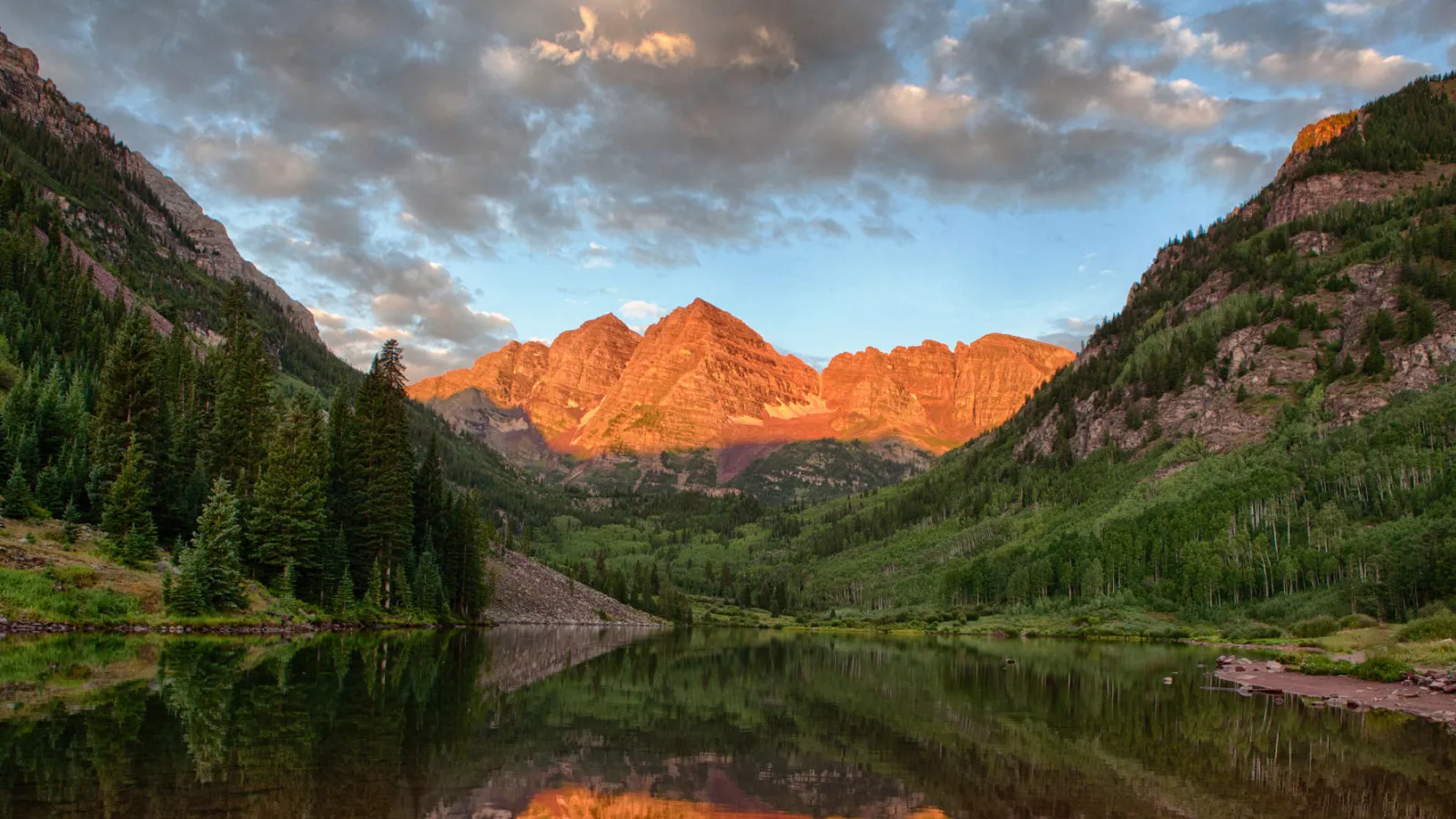
Located 10 miles from Aspen up Maroon Creek Road, the Maroon Bells are not to be missed during a visit to Aspen and are sure to be a highlight of your trip. The most popular viewpoint is from the shores of Maroon Lake, a pristine alpine lake enveloped by fields of wildflowers. There are several ways to enjoy beyond this scenic area.
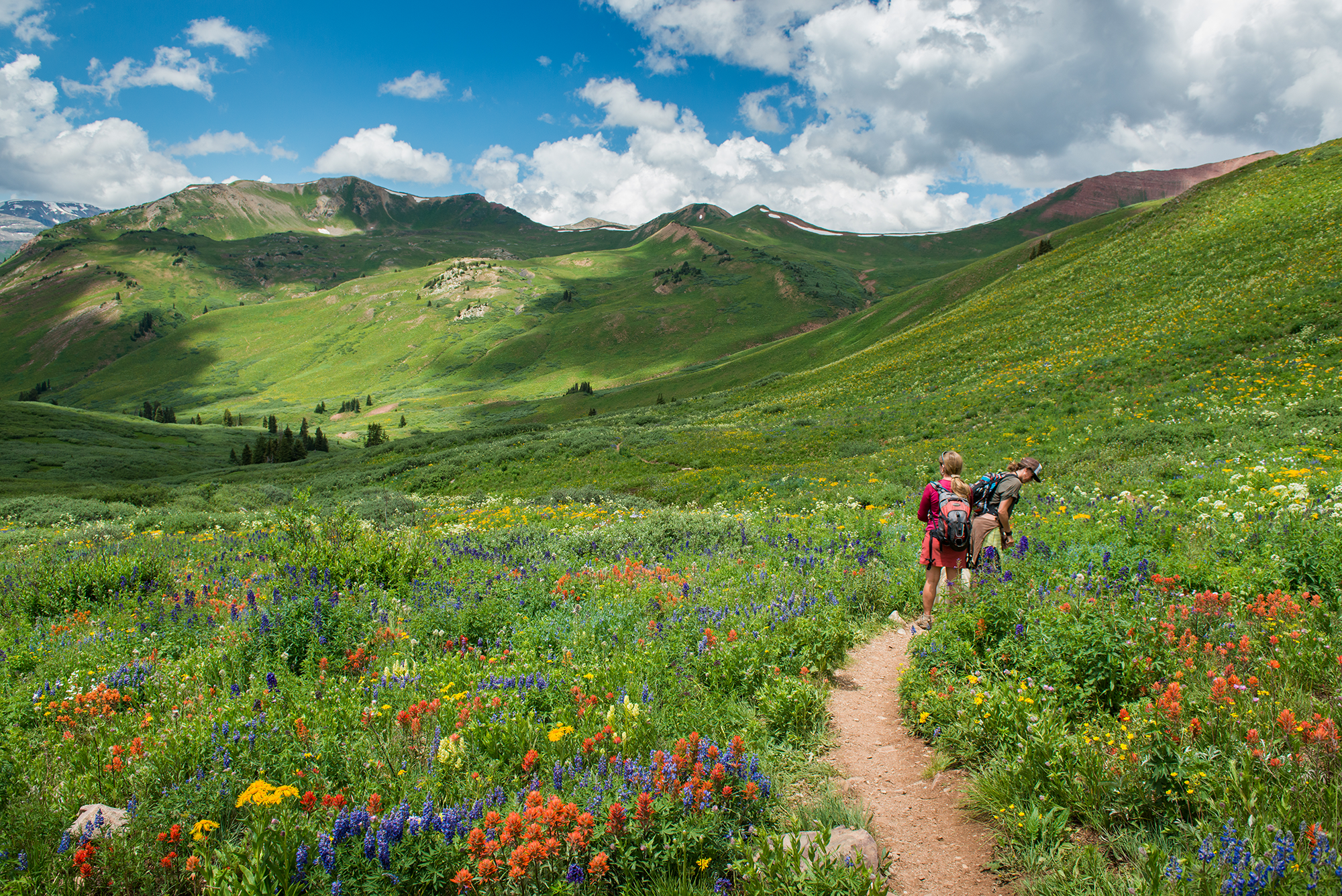
Trailheads in and around the Maroon Bells.
- Maroon Lake Scenic Trail - The trail follows the lake to the far side and meanders along the creek flowing into the lake. This is a great place for pictures and picnics. Miles one way: 1.3. Elevation: 9,500 ft. - 10,000 ft. (EASY)
- Crater Lake - The trail begins at Maroon Lake, 10 miles up Maroon Creek Road. The Maroon-Snowmass Trail climbs through the Aspens to the lake. The left trail or the scenic trail follows a river and crosses two bridges, then climbs steeply to meet with the Maroon-Snowmass Trail. Distance to the trail is 1 3/4 miles one way. (MODERATE)
- Aspen Center for Environmental Studies (ACES) leads daily FREE guided tours around Maroon Lake and to Crater Lake.
- East Maroon Trail - Miles one way: 8.5. Elevation: 9,000 ft. - 12,000 ft. (EASY - MODERATE - LONG)
- West Maroon Pass - From the top of the pass, the trail descends to the Frigid Air Pass, and Schofield Park out of Crested Butte. The hike to Crested Butte is about 12 miles. The top of the pass is tricky and steep. The soil can be slick if it is wet. Miles one way: 6.2. Elevation: 10,000 ft. - 12,500 ft. (MODERATE - LONG)
- Buckskin Pass - After about 1/2 mile above the tree line is the Maroon-Snowmass and Willow Lake junction. Take the left fork that ascends steadily to Buckskin Pass. The total distance is 4.6 miles one way. (DIFFICULT)
- Willow Lake Trail - Follow the directions to Crater Lake. Then at the Crater Lake bulletin board, take the right fork. The trail ascends steeply. After about 1/2 mile above the tree line is the Maroon-Snowmass and Willow Lake trail junction. At the junction, take the right fork. The trail ascends steeply to the top of Willow Pass. From the top of the pass, the trail descends to the junction with East Snowmass trail. Continue straight on the trail for the last 1/2 mile to the lake. The total hiking distance is 6 1/2 miles. (DIFFICULT)
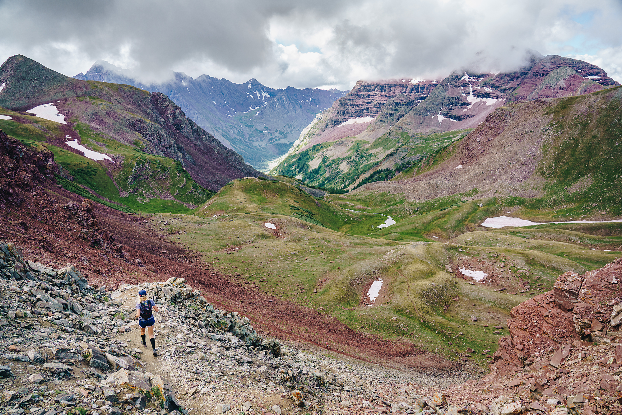
Aspen’s 14ers represent some of the best mountaineering in Colorado. Ranging from highly technical, knife-edge summits to tame, switch-back ascents, seven of the state’s 14ers are located in the Elk Mountain Range bordering Aspen. Hiring a professional guide is a great way to quickly and safely gain new skills for outdoor adventures and explore the Aspen area from a new perspective. Professional guiding company Aspen Expeditions offers a full roster of year-round mountain guiding adventures as well as technical mountaineering instruction.
Summiting your first 14er? Check out our first-timer's guide here.
The Elk Range Mountain Safety Coalition is- “A coalition of partners - including Aspen Expeditions Worldwide, Mountain Rescue Aspen, USFS - Sopris, and the Pitkin County Sheriff - whose primary goal is to provide mountain safety education to outdoor enthusiasts, climbers, mountaineers, and the general climbing community through a cohesive educational outreach program that has a common curriculum by way of presentations and clinics featuring best practices for what it takes to have a safe and successful climb in the Elk Range and beyond.” To learn more, follow their Facebook page for updates on upcoming events in and around Aspen.
Maroon Bells shuttle and parking reservations.
Tag us in your hiking adventures on social @AspenCo for a chance to be reposted on our page and website!
Stay in the know, sign up for our Monthly Newsletter & keep up-to-date on Aspen events, activities, lodging deals and more.

